Met Museum
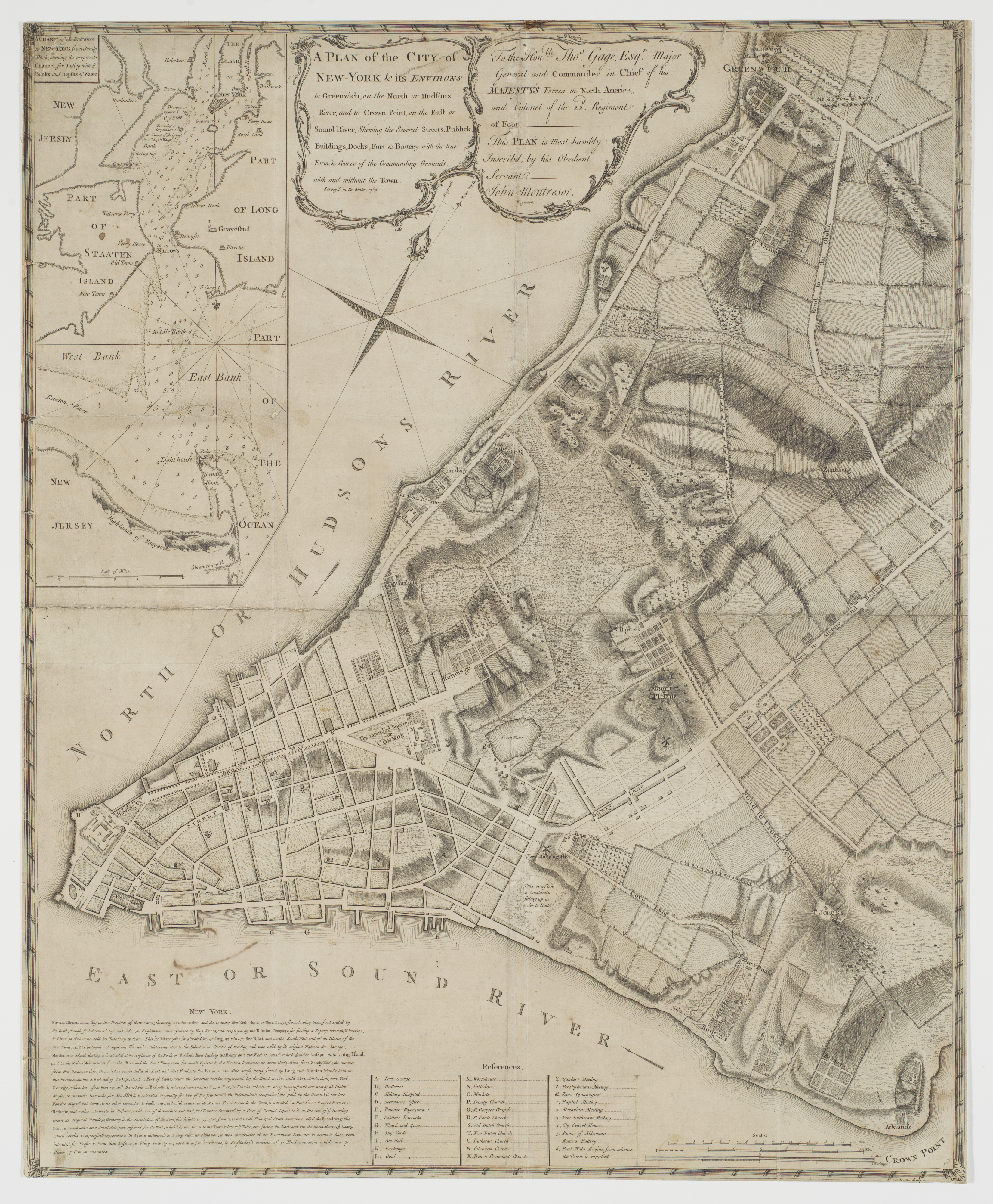
A Plan of the City of New-York & its Environs, to Greenwich, on the North, or Hudsons River, and to Crown Point on the East, or Sound River, Shewing the Several Street, Publick Buildings, Docks, Fort, & Battery, with the true Form & Course of the Commanding Grounds with and without the Town, Survey'd in Winter 1766-66 [The Montresor Plan]
Peter Andrews · 1768
The Edward W. C. Arnold Collection of New York Prints, Maps and Pictures, Bequest of Edward W. C. Arnold, 1954
🔒
Order museum-quality prints
Sign in to order prints, canvas, and more of this work. Browsing and full-resolution downloads stay free.